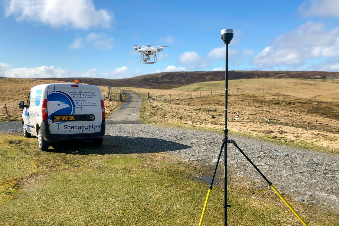
Efficient data collection and stakeout
Efficient data collection and stakeout
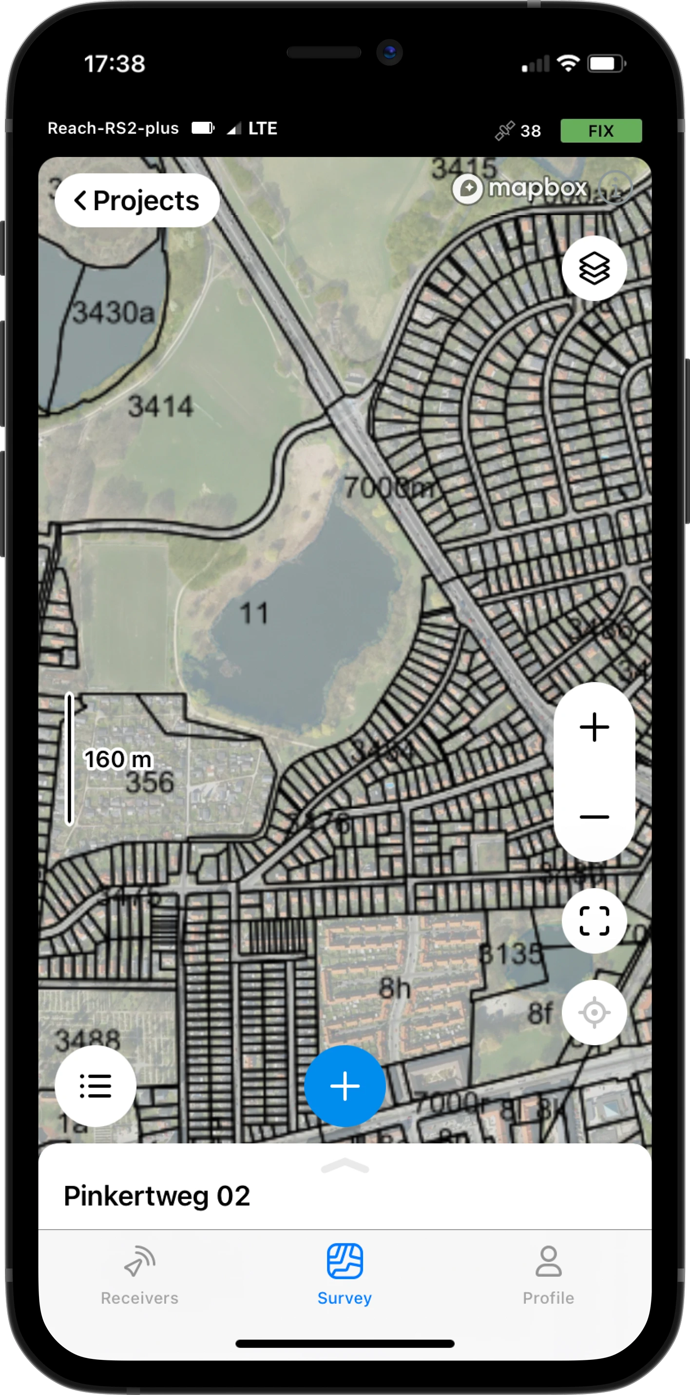
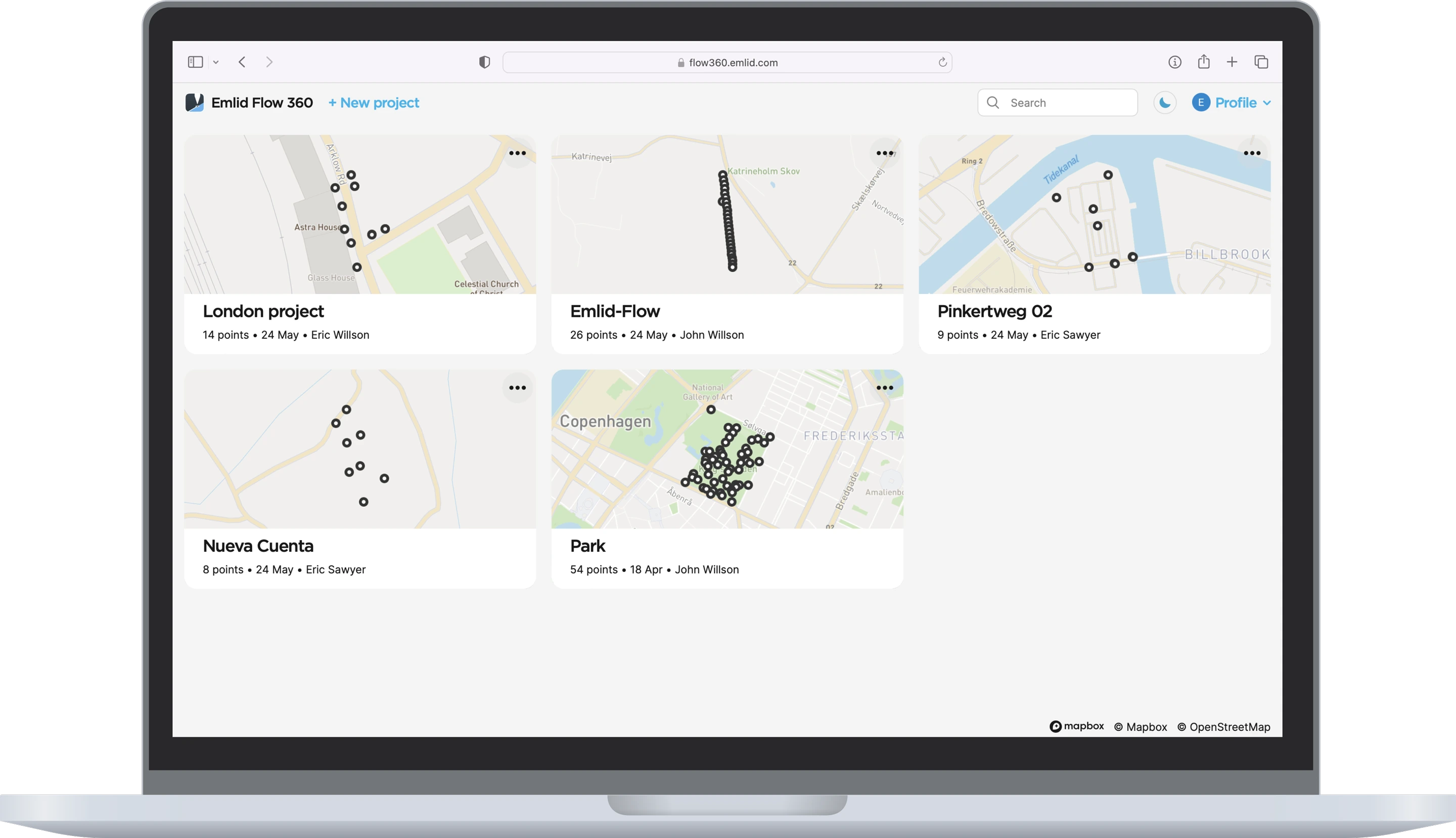
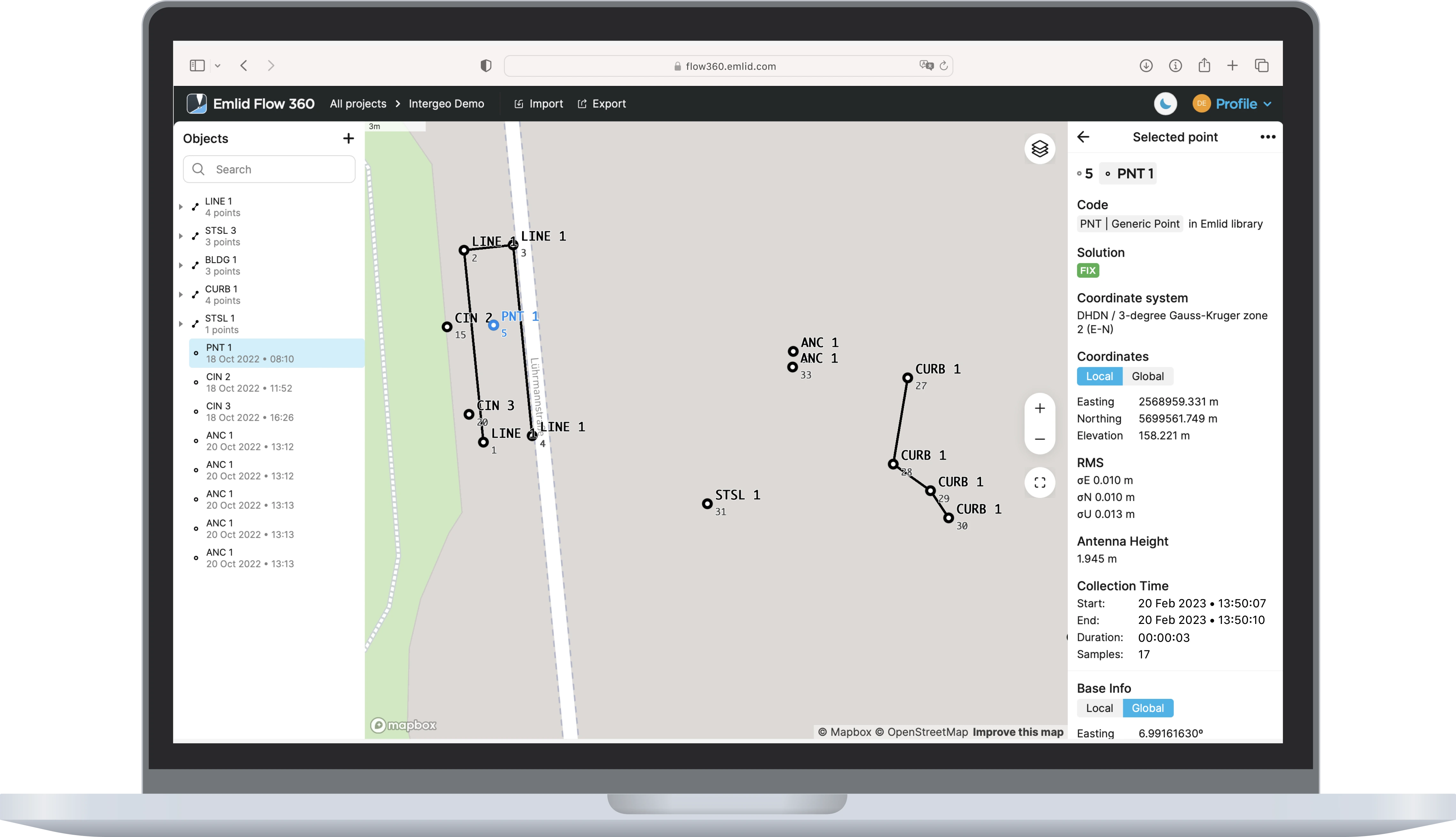
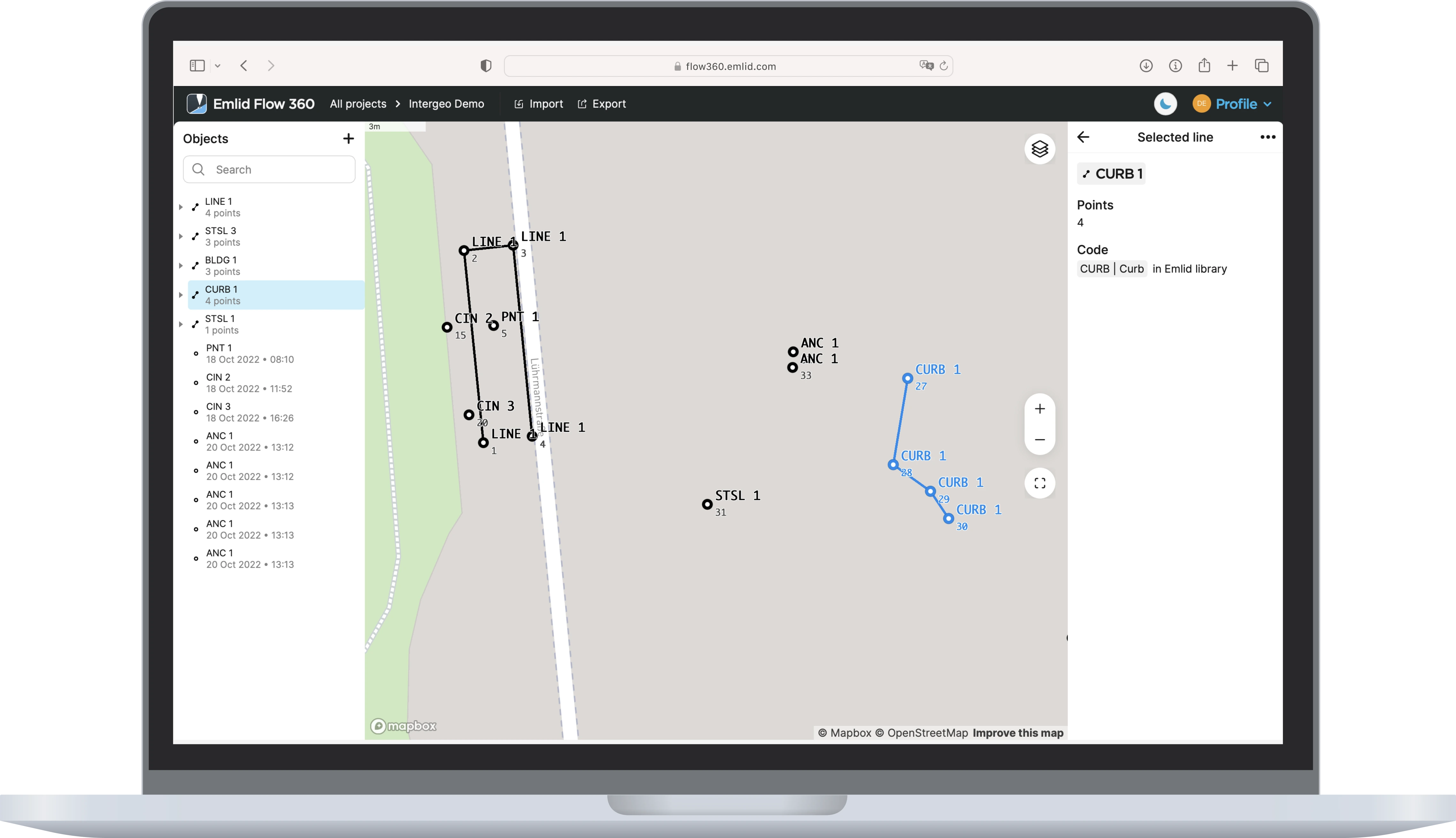
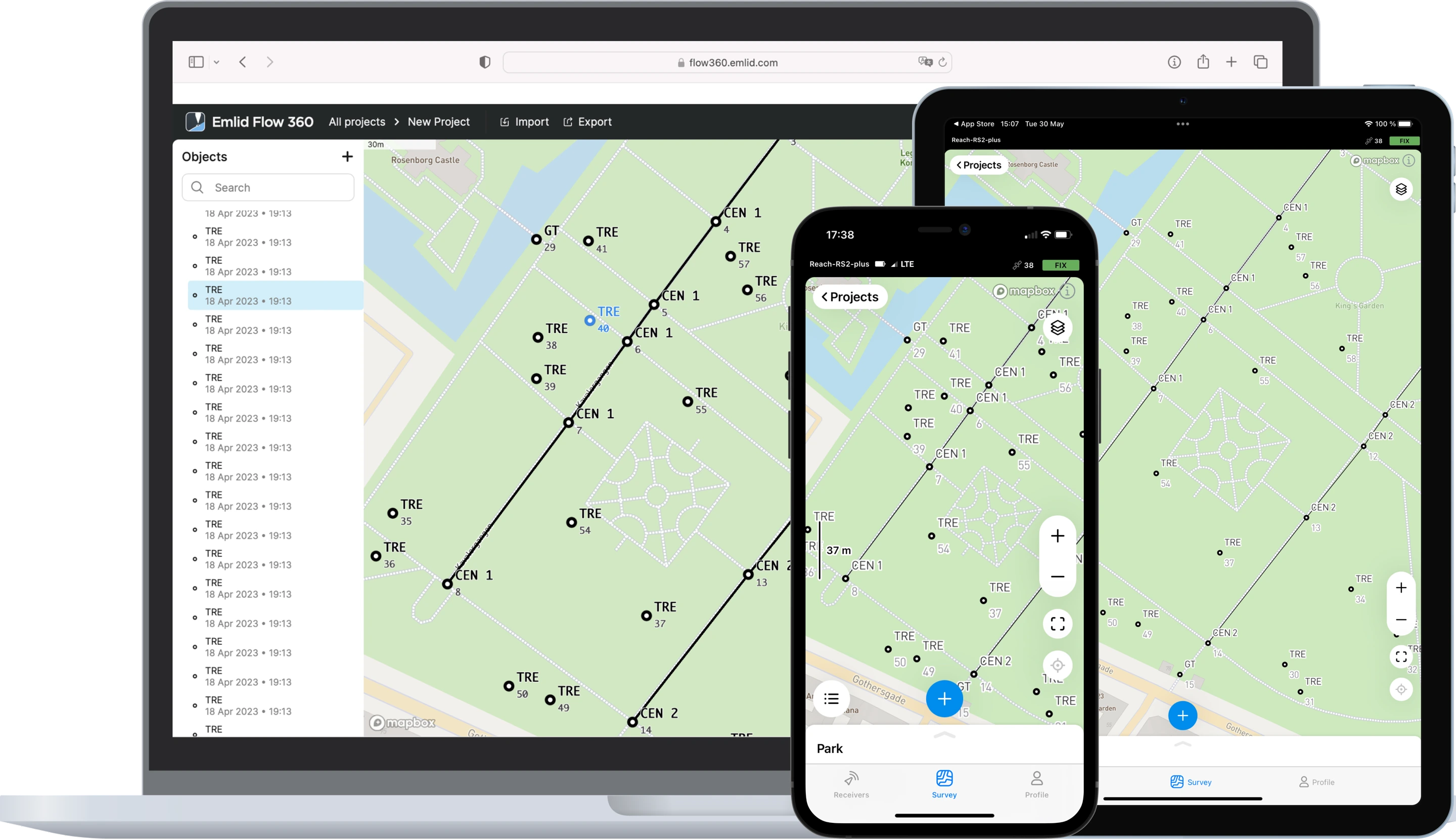
Point collection
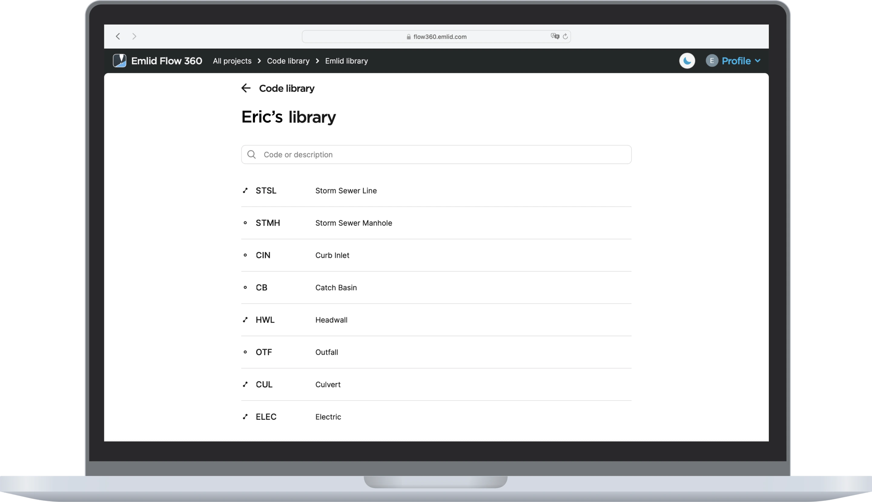
Collect points, write detailed descriptions, and perform quality control using our responsive interface. The app has built-in support for projections, grids, and geoids and a library with hundreds of verified coordinate systems.
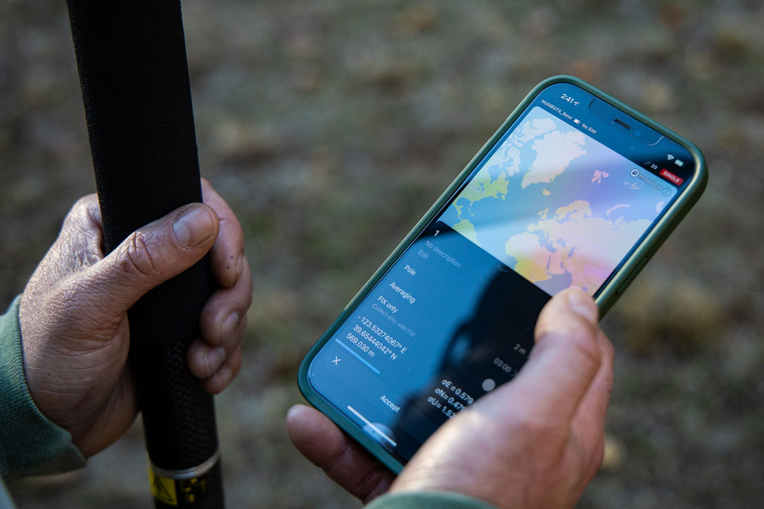
Coordinate systems wizard
Emlid Flow has a wizard for manual coordinate system creation for areas without a predefined coordinate system. To start your survey, you just need to specify the datum, enter transformation parameters or projection, and choose your geoid.
Intuitive stakeout tool
Emlid Flow displays East-North and straight-to-line distances and supports cut and fill indication. When you get close to a point, the indication switches to a close-up alignment mode helping you to center exactly above the point.
Additionally, the app comes with a close-up alignment tool for when you need to be precise.


 Start 30-day free trial